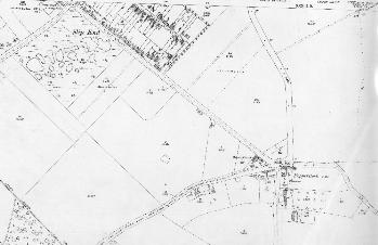
To see a larger version of the map please click on the appropriate thumbnail
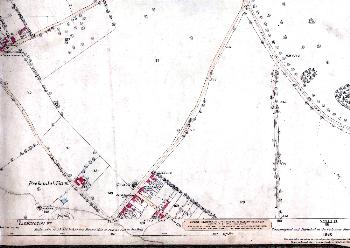
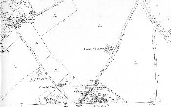
Ordnance Survey 25 inches to the mile 1st edition map of the northern part of Slip End in 1880
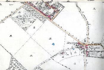
Ordnance Survey 25 inches to the mile 2nd edition map of the northern part of Slip End in 1901
Ordnance Survey 25 inches to the mile 3rd edition map of the northern part of Slip End in 1924
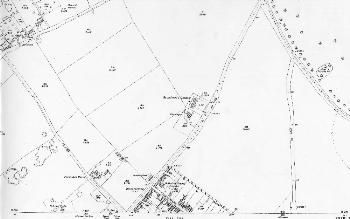
Ordnance Survey 25 inches to the mile 1st edition map of the southern part of Slip End in 1880
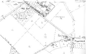
Ordnance Survey 25 inches to the mile 2nd edition map of the southern part of Slip End in 1901
Ordnance Survey 25 inches to the mile 3rd edition map of the southern part of Slip End in 1924
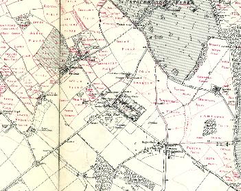
The second edition Ordnance Survey 6 inches to the mile map annotated by the first County Archivist Dr. George Herbert Fowler to show field names in Slip End and Woodside.